The Miti360 Dataset
A high-resolution, multi-modal dataset for machine learning in African forestry, developed by the Centre for Data Science and Artificial Intelligence (DSAIL) at Dedan Kimathi University of Technology.
Despite the huge interest in applying machine learning to forestry, the scarcity of ML-ready datasets related to forestry in Africa remains a major hindrance. Major datasets from North America, South America, Europe and Australia have limited geographic diversity. Miti360 was developed to address this data gap.
In Kenya, national efforts to plant up to 15 billion trees by 2032 present a unique and massive challenge - how to monitor the growth and survival of billions of individual trees. Miti360 is uniquely positioned to help solve this by facilitating the development of ML models to make accurate, quantitative analysis of reforested stands possible.
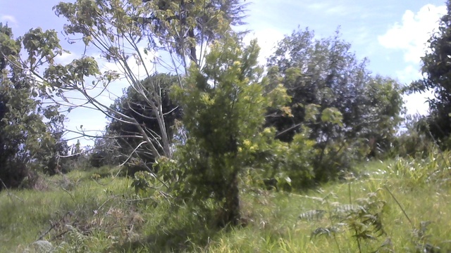
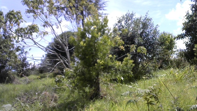
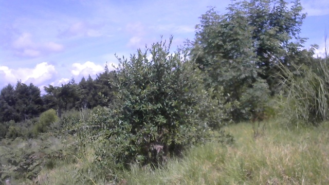
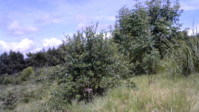
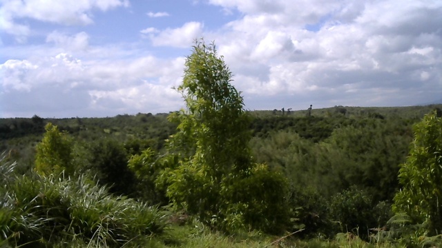
All data was collected from a 770 ha reforested stand within the Kieni Forest in Kiambu County, Kenya. This forest is a critical part of the Aberdare Ecosystem, one of Kenya's five main water towers, which supplies 80% of the water used in Nairobi.
See the Data
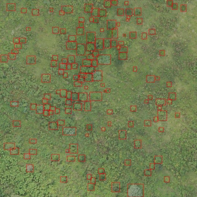
Miti360 is a multi-modal dataset integrating five categories of data. The full dataset summary is provided below.
| # | Data Category | Data Type | Quantity | Format |
|---|---|---|---|---|
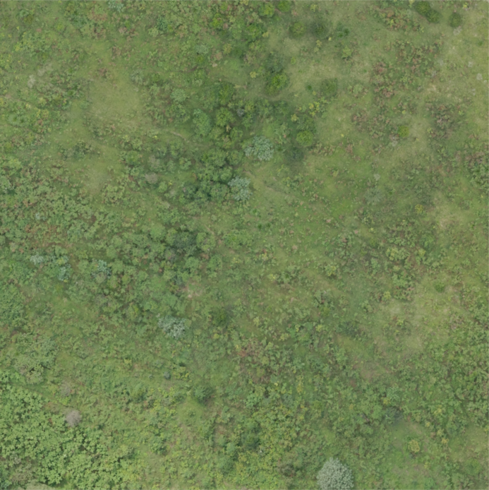
| 1 | Drone Images | Orthophoto | 2 | TIF |
| Tiles | 844 | TIF | ||
| Tree crown annotations | 24,197 | JSON | ||
| Tree crown species | 1,208 | CSV | ||
| Tree species shapefile | 1,208 | SHP | ||
| 2 | Tree ground measurements | Numeric data | 1208 (601 trees in 2024 & 607 trees in 2025) | CSV |
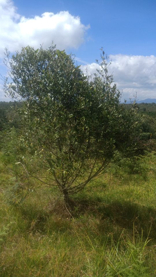
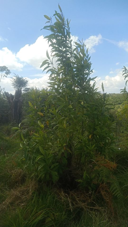
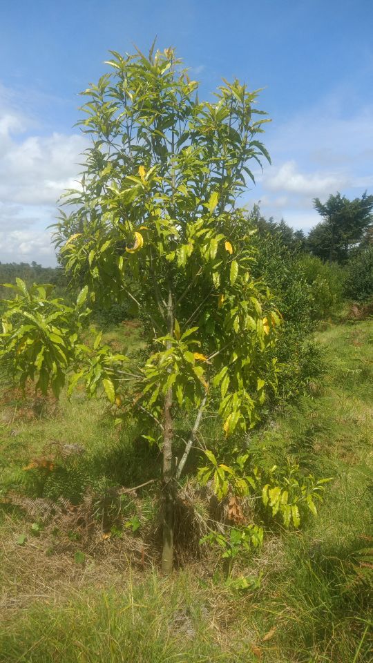
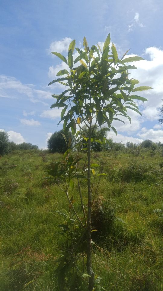
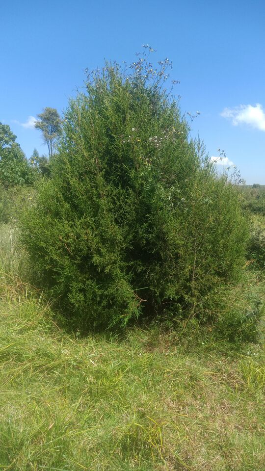
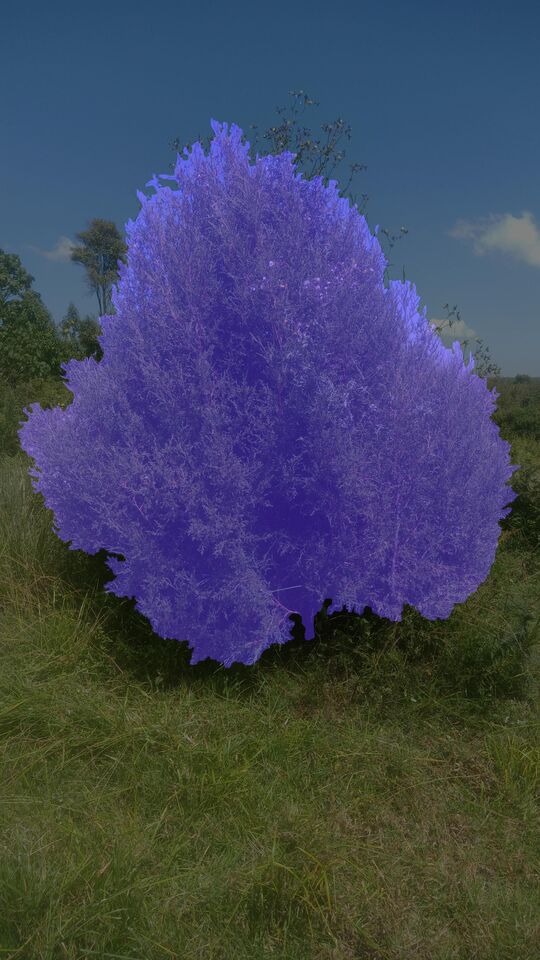
| 3 | Ground based single images | Images and tree masks | 1208 (601 trees in 2024 & 607 trees in 2025) | JPEG |
| 4 | Tree stereo images | Images and tree masks | 2416 (601 trees in 2024 & 607 trees in 2025) | JPEG |
| 5 | Weather data from 40 stations | Time series data | 8 years daily data | API endpoint |
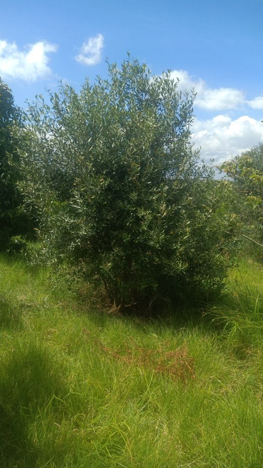
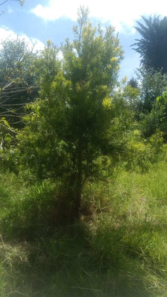
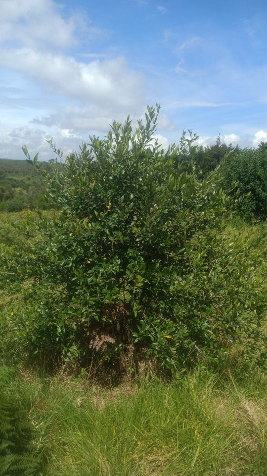
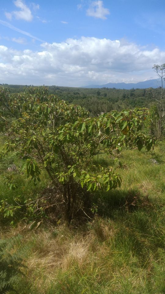
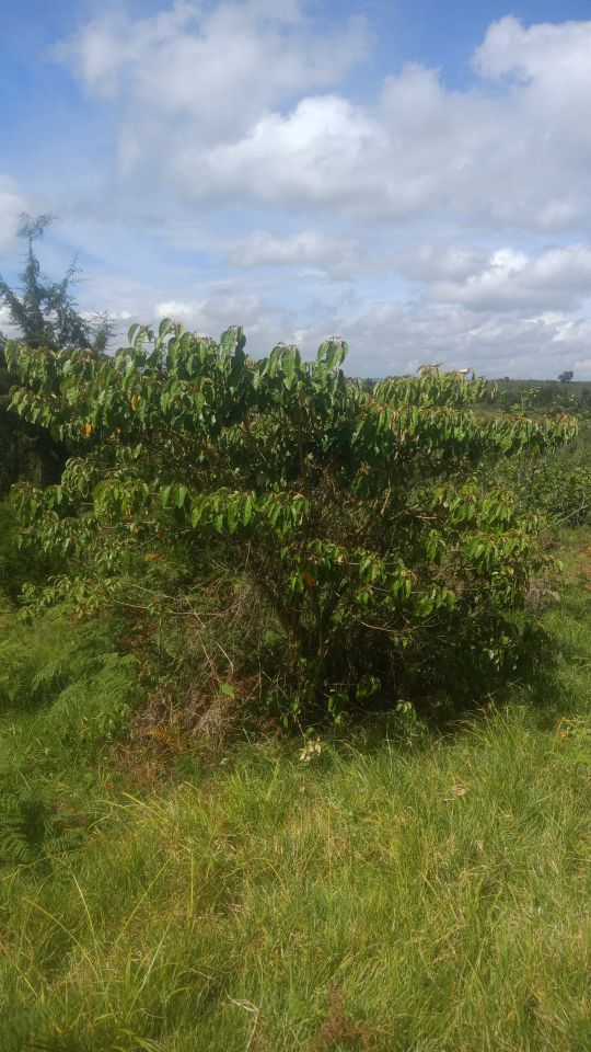
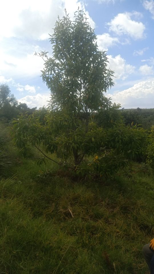
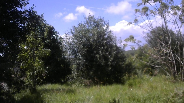
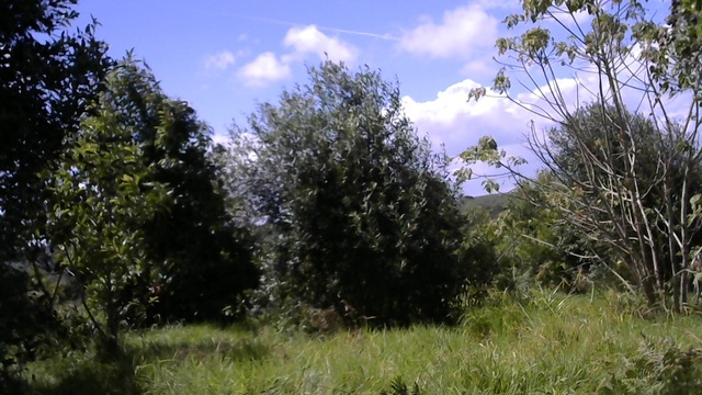
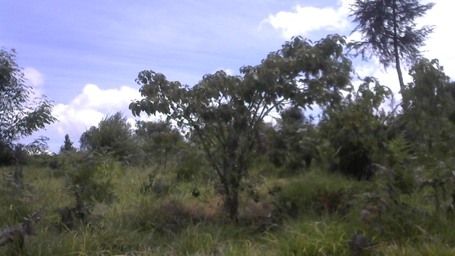
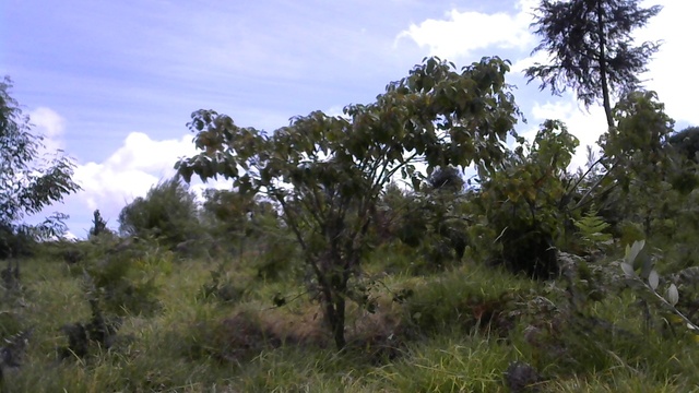
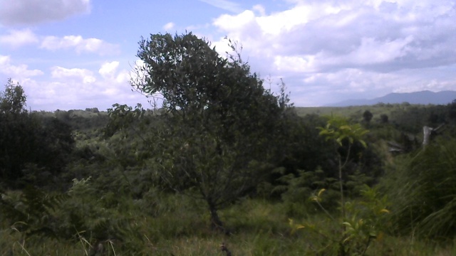
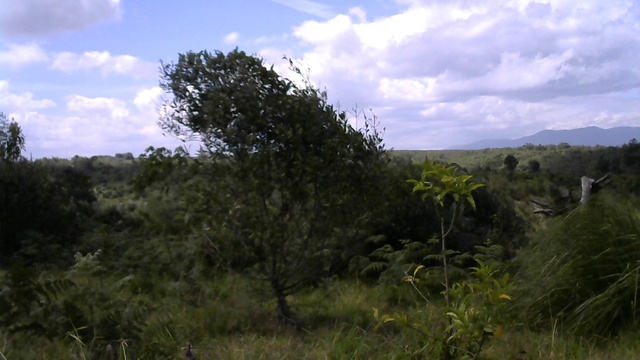
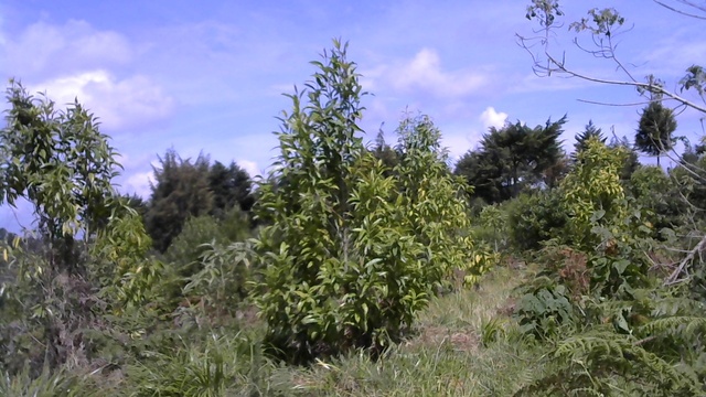
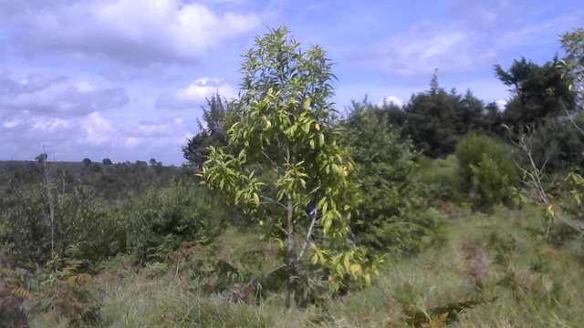
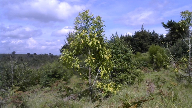
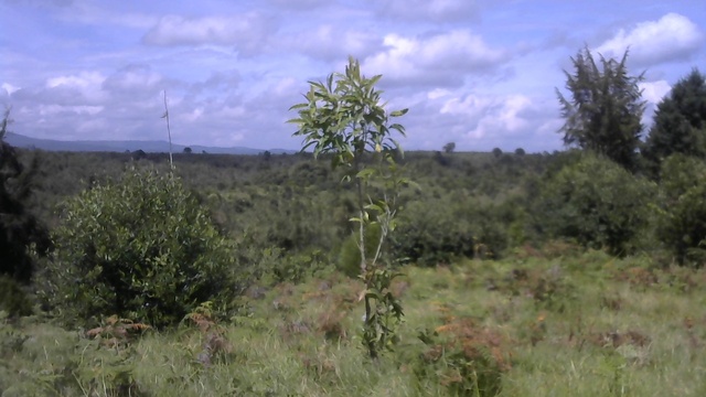
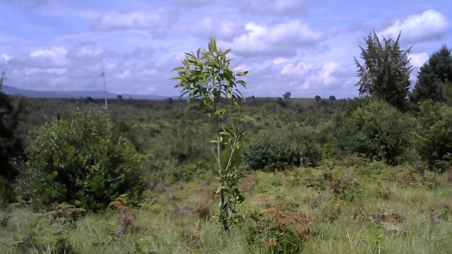
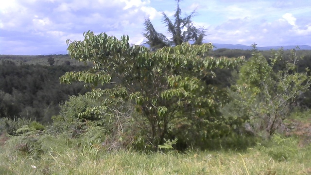
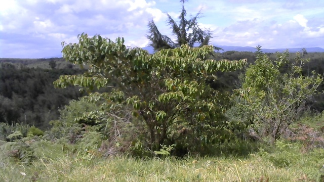
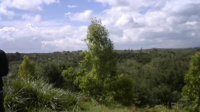
Explore visual samples from the dataset. Scroll horizontally to see data quality, annotation styles, and statistical distributions.

What Can You Build with Miti360?
This dataset is designed to train and benchmark models for critical reforestation tasks.
Species Identification
Identify and classify species of individual young trees, saplings, and seedlings from high-resolution drone images.
Biophysical Estimation
Estimate parameters like crown diameter and tree height from drone or terrestrial imagery to derive biomass estimates.
Predictive Modelling
Predict changes in tree biophysical parameters and stand volume in relation to prevailing weather conditions.
Explore Miti360
This section provides a detailed look at the data. Use the tabs to explore the data schema, view sample images, and understand the study area.
| Data Type | Count/Size | Format | Notes |
|---|---|---|---|
| Aerial Imagery | ~2,500 images | TIFF | High Res Drone |
| Terrestrial Imagery | ~5,000 images | JPG | Handheld |
| Weather Data | 3 Years | CSV | Daily logs |

About the Study Area
Technical Report
For a complete description of the data collection, curation, and methodology, please refer to our full technical report.
How to Cite
If you use the Miti360 dataset in your research, we kindly request that you cite our technical report. We are currently working on the data paper and it will be made available once it is published.
@techreport{kiplimo2024miti360,
  title = {Miti360: An integrated dataset combining remote sensing, ground measurements and weather data for improved reforestation monitoring},
  author = {Kiplimo, Cedric and Mbatia, Samuel and wa Maina, Ciira and Sichangi, Arthur and Gitundu, Denis},
  institution = {Centre for Data Science and Artificial Intelligence (DSAIL), Dedan Kimathi University of Technology},
  year = {2024},
  address = {Nyeri, Kenya}
}